|
|
|
|
| Many
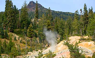
NP visitor centers display great 3 dimensional maps. I love studying
them, examining the places I've been and those I'd like to see. It's
difficult to get good photos of these maps. Usually the light isn't
that great. Digital cameras have made it a bit easier. These examples
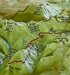
are the best images from the entire map. The section, left, of the
southeast entrance area includes the Sulphur Works and Pilot Pinnacle.
The image, above, duplicates the map from the Sulphur Works to Pilot
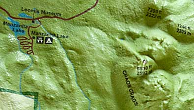
Pinnacle. Top right, the northwest entrance area including Manzanita
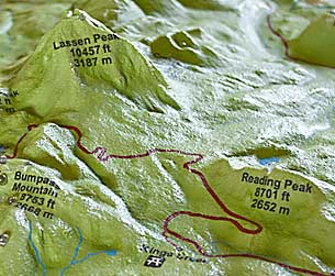
Lake. Right, Lassen and Reading Peaks. |
|
|
|
|
|
|