 |
 |
 |
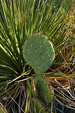
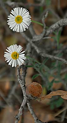
| More plant species along the Tejas Trail near Pine Springs Campground: vivid colors, left and right, stand out against their backgrounds. A beaver tail cactus competes with a Torrey yucca for a good spot to survive in this harsh environment. The Tejas Trail, one of the longest in the park, runs from Pine Springs Campground, north, to Dog Canyon Campground at the park's northern border. To view a map of the entire trail, click on the "map" link at right. |
| Guadalupe Mountains |
| National Park |
| Pine Springs |
| guadalupe main page | maps |